
I've "noodled around" in GoogleEarth now for a couple of weeks. For someone who is geographically challenged (like myself), being able to see a 3-dimensional view of a city skyline is so much more helpful than a flat 2-d "top down" view.
The first image above shows the Management Education Center building in Minneapolis (highlighted in gold) in a rotated view on Google Earth.
Only buildings in downtown areas of major metropolitan areas are in 3D relief, but you can still "fly" over the 3-dimensional landscape as though you are in an airplane.
One of my favorite features is a "spin the globe" where you drag and release the mouse - and the landscape below keeps moving - again, like a virtual flight!
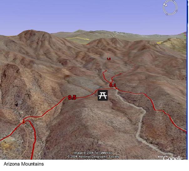
The second image shows mountains in Arizona. Although you can see the 3-D relief in the image - the actual 3-D rendering in the live application will have you sitting for hours on the computer just "traveling" the geography.
This free site can assist in teaching about urban planning, geography, biology, history, and countless other subjects. Allowing students to view the terrain paints events in a much more interesting light.
Check it out at http://earth.google.com and click on MORE>>


No comments:
Post a Comment